

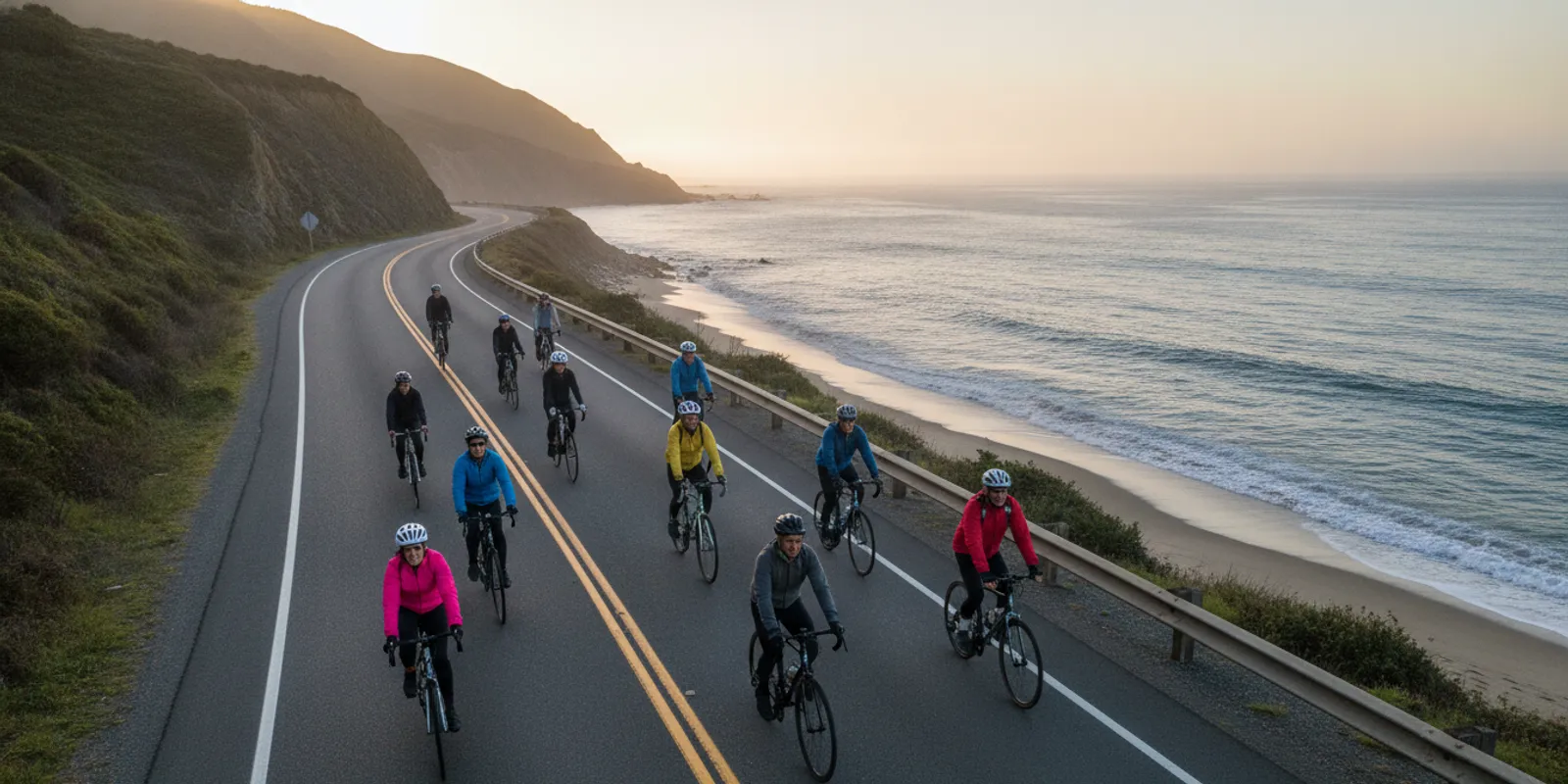
Cycling Routes: How to Choose a Safe Charity Ride Route
Compare cycling routes by distance, traffic, surface, support, and logistics to choose a charity ride that fits your comfort and community goals.
Choosing among cycling routes is not just a question of mileage. A good route fits the people riding it, the support available, and the kind of day they want to have. If you are considering a charity ride, compare the route with your comfort and practical needs, then consider what local cause the event supports.
What makes a cycling route a good fit?
A good fit is a route you can understand, prepare for, and complete with the support you need. The shortest option is not always the most comfortable. A direct road may involve fast traffic, while a longer route may offer calmer streets or a separated path. A scenic route can still be challenging if it has steep climbs, exposed sections, or few places to stop.
Think about the ride as a whole experience: the start, the middle, and the finish. Ask how you will get to the start, where you can pause, what happens if you need help, and how you will get home. For a charity event, also check what the ride makes possible for its local community. These details help turn a line on a map into a practical choice.
It can be useful to separate a route’s objective features from your personal preferences. Distance, road type, surface, elevation, and event support are things you can verify. Comfort, confidence, and the kind of scenery you enjoy are personal. Writing down both kinds of criteria keeps one appealing feature, such as a beach finish, from overshadowing a practical concern like an unfamiliar busy crossing.
Which route factors should you compare?
Distance and the amount of time available
Look at the full distance, not only the headline number. Check whether the route includes a return leg, a detour, or a connection between a start location and the main course. Consider how much time you can give the ride and whether the event has a cutoff or a set finish window. If a ride offers several distances, compare each option on its own rather than assuming the middle distance is automatically right for you.
It can help to compare the event distance with rides you already enjoy. That is a reference point, not a promise about how the event will feel: surface, wind, traffic, hills, and rest opportunities all matter. If you are new to longer rides, choose an option that leaves room for breaks and changing conditions rather than selecting a distance to impress someone else. This is a route-choice question, not a demand to follow a particular training schedule.
Also check how the route is measured and described. A listed distance may be rounded, and the final event course can change. Find out whether the posted number covers only the marked course or whether it includes a lead-in, an alternate segment, or a way to reach the start. If you are coordinating a group, use the same official distance description when comparing plans so that everyone is working from the same information.
Traffic, crossings, and road layout
Route comfort depends on more than the number of cars. Check the types of roads, the number of major crossings, and whether the course uses a protected path, a quiet local street, or a busier roadway. Look for intersections that require turning across traffic and stretches where a rider may have limited room to move. Consider visibility at bends, on descents, and at junctions.
BRAG’s bicycle route planning guidance discusses minimizing left turns across busy roads and considering sight lines on descents and curves. Those are useful questions when reviewing any route map. Do not assume a map alone can tell you how a road feels at a particular time of day; ask the event organizer what riders should expect.
When viewing a map, zoom in on transitions. A route may travel mostly on a path but briefly join a road, pass through a commercial area, or cross a wide intersection. Those short segments can matter more to a rider’s comfort than long stretches that look simple. If the route description does not explain them, ask whether volunteers, signs, or other instructions are provided at key points. Never assume event staff can stop traffic unless the event specifically confirms that arrangement.
Elevation, surfaces, and exposure
Two routes with the same mileage can feel very different. A route with repeated climbs asks for different effort than a flatter course. Loose gravel, rough pavement, narrow shoulders, and uneven trail surfaces may also affect comfort and equipment needs. Check the route description for surface and elevation information. When it is not provided, ask before choosing.
Weather exposure is another practical factor. A route with long open stretches may offer little shade or shelter. Near the coast, wind can change how a ride feels. Think about likely conditions for the event date, while remembering that a forecast can change. Pack and plan for the conditions the organizer says to expect.
Surface descriptions also deserve a closer look if riders in your group use different bikes. A road-oriented bicycle may feel different on a rough path than a hybrid or other bicycle designed for mixed surfaces. Ask the organizer about pavement, trail segments, and any restrictions, then make sure the bicycle and tires are appropriate for the confirmed course. Do not infer that every route is suitable for every type of bike from a general label such as mostly paved surfaces.
Navigation, rest stops, and on-course help
Find out how riders follow the route. Some events share a map or GPS file; others also use signs, volunteers, or ride leaders. Check whether the course has rest stops and what support is available if you have a mechanical problem or need assistance. Support details are part of route suitability, especially when you are not familiar with the roads.
Bike to the Beach describes full ride support, including rest stops every 15 miles, professional mechanical support, and SAG vehicles. Review the current event information for details that apply to the ride you are considering. You can also read about Ride with GPS navigation for event routes to understand the navigation option.
Ask what the support terms mean in practice. A rest stop is a place to pause, but its exact location, hours, and available amenities should be confirmed for the event. Mechanical support can address bike issues within the service offered; it does not mean every repair or replacement part is available. A SAG vehicle is a support option, but ask how to request help and what happens if a rider needs to leave the course. Clear answers make a route easier to evaluate without overstating what support can do.
How do common route options compare?
There is no single route type that suits every rider. Use this comparison to identify what to ask about, then check the actual event map and rules. Route names are not guarantees: a group ride may still use busy roads, and a path may have crossings or shared-use sections.
| Route option | May suit riders who… | What to check |
|---|---|---|
| Separated path or trail | Prefer less interaction with motor traffic | Surface, shared use, crossings, access points, and whether the full route stays on the path |
| Quiet local roads | Are comfortable riding on streets with lower traffic | Intersections, shoulder space, turns, traffic at event time, and navigation |
| Point-to-point event route | Want a clear destination and organized event support | Start and finish logistics, return transportation, course support, and route distance |
| Loop route | Prefer to finish near the starting area | Repeated sections, access to rest stops, crossings, and how the course handles laps |
A route planner can help you see alternatives, but do not treat its suggested route as event approval. The Sacramento Area Bicycle Advocates article Finding Comfortable Cycling Routes discusses looking for routes with fewer cars. Use that idea as one part of your comparison, along with distance, intersections, surface, and official event guidance.
Consider how the route type affects your day beyond riding. A loop can simplify getting back to a parked car, but repeated sections may feel less varied. A point-to-point route can make the finish feel like a destination, but it requires a clear plan for people, bikes, and belongings at both ends. A path may reduce exposure to motor traffic in some areas while adding shared-use etiquette, access ramps, or trail crossings to consider. Compare the whole experience rather than ranking one format as best.
How can you choose a route step by step?
- Set your practical limits. Note the distance range you are willing to consider, your available time, preferred surface, and any accessibility or comfort needs. Include the needs of everyone riding with you. Separate firm requirements from preferences: for example, a required return plan is not the same as a preferred scenic finish.
- Read the event details before studying the map. Confirm the event date, start and finish areas, distance choices, support information, and transportation arrangements. For an example of event information, see the DC and Maryland ride details.
- Look at the route as a sequence. Identify the start, major road changes, crossings, hills, rest locations, and finish. Break the map into sections so you can spot a demanding or uncertain part instead of judging only the whole route. Mark questions beside the section they relate to.
- Check the parts you cannot tell from the map. Ask about road conditions, surface, signage, traffic control, and support. If you use a route-planning app, compare its suggestions with the official course rather than substituting a different route during an organized event.
- Compare the available distances honestly. Choose the option that aligns with your current riding experience and time. A longer route is not automatically a better choice. A shorter route can still be a meaningful way to participate.
- Plan the logistics. Work out how you will reach the start, where your bike and belongings go, and how you will return from the finish. A point-to-point course needs different planning than a loop.
- Make a final check with the organizer. Confirm any details that could change your decision, especially accessibility, support, route updates, and what to do if you need to stop early.
- Save the final event instructions. Keep the official route information accessible in the format the organizer recommends. If you are riding with others, agree where you will regroup and what to do if you become separated. Recheck for route updates shortly before the event rather than relying only on an old map or saved app route.
How can you match a route to different riders?
Groups often include people with different experience, pace, confidence, or access needs. Picking a route by the strongest rider’s preference can leave others with an uncomfortable day. Begin by asking each person what matters most: a manageable distance, fewer complex intersections, predictable surfaces, frequent rest opportunities, or riding together from start to finish. These conversations are practical planning, not a test of who is the most capable cyclist.
Then distinguish between needs that can be met by choosing a different route and needs that require an event-specific answer. A rider may prefer a flatter course; the event map can help compare elevation. A rider who needs information about access, facilities, or assistance should ask the organizer directly, because a route map alone cannot confirm those arrangements. Keep the person who will use the support involved in asking the question, and get the answer in advance.
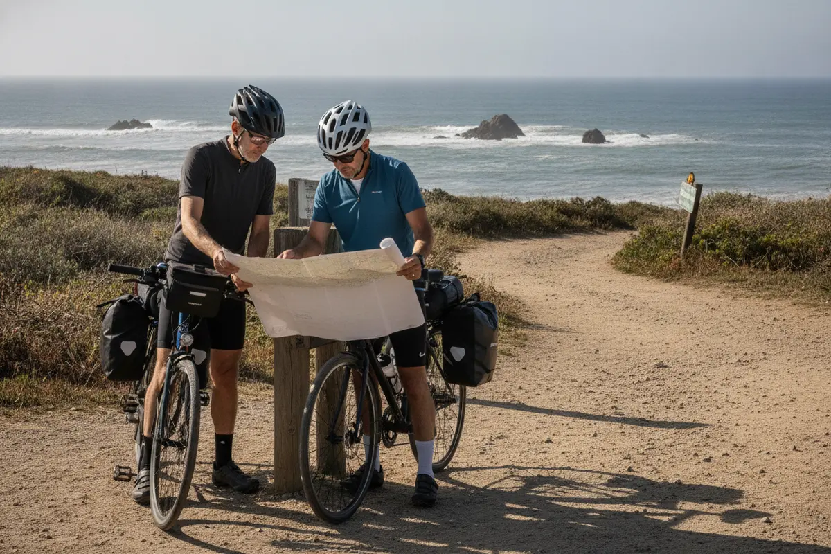
For example, a pair choosing between a shorter city route and a longer coastal course might find that the shorter option includes more frequent turns, while the longer one has a simpler continuous road but more exposure to wind. Neither is automatically easier. Compare the exact details with the riders’ preferences and the support available. If one person wants a shorter day and another wants a longer challenge, consider whether the event offers distance options that still allow you to share the start or finish, rather than assuming everyone must ride the same distance.
If riders in a group choose different distances, agree on logistics before registration: where each route begins and ends, when and where to reconnect, and who is responsible for transportation or belongings. Some riders may finish at different times. A specific reunion point is more useful than a vague plan to meet at the finish especially if courses end in different locations or the finish area is busy.
What does route support mean for your choice?
Support changes how much you need to manage alone. On an unfamiliar route, marked directions and a clear way to ask for help can make the day easier to navigate. Rest stops let riders pause and regroup. Mechanical support may help address a bike issue, while SAG support can be relevant if a rider cannot continue. Ask what each service covers and where it is available; do not assume that every need is handled in the same way.
Review the event’s current information carefully. Bike to the Beach events offer multiple distance options and support elements such as rest stops, mechanical support, and SAG vehicles, but the details can vary by ride. The New England ride page and Florida ride page provide regional starting points for checking event information. For New York, review the New York ride details as well.
Support is one part of the decision, not a replacement for your own planning. Confirm what you need to bring, whether a phone or GPS device needs to be charged, and how to contact event staff if the route instructions are unclear. If you rely on a particular piece of equipment or need a specific accommodation, ask whether the event can support it instead of assuming it is included in general ride support.
If you need a bike, check whether the event offers or coordinates a rental option and what arrangements you must make in advance. This guide to renting a bike for a 100-mile ride explains some practical questions to consider before a long event ride. Equipment and route decisions go together: confirm that the bike is appropriate for the event’s surface and that you know how to use the navigation method.
What route-planning mistakes can you avoid?
- Choosing by mileage alone. Check elevation, surface, traffic, stops, and finish logistics as well.
- Assuming a scenic route is an easy route. A beautiful view does not tell you about road width, wind, or climbs.
- Relying on a suggested app route during an event. Follow the organizer’s official course and instructions. A route planner may not reflect event changes or road conditions.
- Skipping the start and finish plan. On a point-to-point ride, transport and bike handling can shape the day as much as the route itself.
- Ignoring the needs of a riding companion. Discuss pace, comfort, breaks, and what to do if you become separated before setting out together.
- Waiting until ride day to ask key questions. Check accessibility, support, route updates, and equipment requirements in advance.
- Confusing event support with a guarantee. Read what the organizer actually provides and how to request assistance. Plan for your own essentials and follow event directions.
- Using an old map as the final word. Course details can be updated. Check the current event information and any notices before you set out.
For a charity ride, also avoid treating the route as the entire reason to participate. The course is one part of an event that can bring riders and local organizations together. Learn more about Bike to the Beach’s mission and approach and its stories of community impact as you consider which event is meaningful to you.
How can a route connect riding with local impact?
A charity ride gives a route a purpose beyond getting from one place to another. Bike to the Beach organizes regional rides that raise funds and awareness for local autism and disability organizations. The organization says 100% of participant fundraising goes to local partner organizations. That local focus can help riders connect a personal challenge with services and opportunities in the communities they ride through and support.
When comparing events, read about the beneficiary organizations and how fundraising works. Ask what the event supports locally and how riders can take part. Some people ride, while others join through a team or support the event in another way. The charity bike ride event overview is a useful place to explore participation options, and the post-ride recovery tips offer considerations for after the finish.
Local impact can be a real selection criterion, just like distance and location. Read what the event says about its partners and how funds are directed, then decide whether that purpose resonates with you. If you are choosing among regional events, you can compare the route experience with the communities and organizations connected to each ride. Avoid assuming that all charity rides direct funds in the same way; look for a clear explanation from the organizer.
Some participants prefer to join a team, invite friends, or help a rider reach a fundraising goal. The route decision can still be central: agree on a distance and event that match the group’s comfort and schedule, then plan how you will participate together. A meaningful ride is not defined only by speed or distance. It can be the experience of showing up for a shared purpose and completing a course that suits the people taking part.
Volunteer with Bike to the Beach
Frequently Asked Questions
How do I know whether a cycling route is safe for me?
No route can be judged from distance alone, and no route is risk-free. Review traffic, intersections, surface, visibility, elevation, and support. Check the organizer’s current information and ask about anything unclear. Choose a route that fits your experience and comfort, and follow event instructions and applicable road rules.
Should I choose a route with fewer cars or a shorter route?
Compare both factors along with crossings, surface, time, and support. A shorter route may still use roads or intersections that feel challenging, while a quieter option may take longer. Decide which tradeoffs matter most to you and check the official course details before choosing.
Can I use a route-planning app for a charity ride?
Use an app to review a route or understand navigation if the event supports it, but follow the organizer’s official route and ride-day instructions. App-generated alternatives may differ from the approved course or reflect outdated information. Confirm how the event expects participants to navigate.
What should I ask before registering for a ride?
Ask about route distance and surface, start and finish logistics, rest stops, mechanical or SAG support, navigation, accessibility, and any event-specific requirements. If the ride is point-to-point, confirm how riders and bikes return. Ask the organizer directly if published details do not answer your question.
Ready to find a ride that fits?
Compare the route details with your needs, then explore Bike to the Beach charity ride options to find a practical next step for riding and supporting local communities.
Choose a course by looking at the full experience, from its roads and support to its finish and local purpose, so the ride is a good fit for you and your group.